Drones and Sustainability: How Aerial Technology is Helping Environmental Conservation
Introduction to Drone Technology in Environmental Conservation
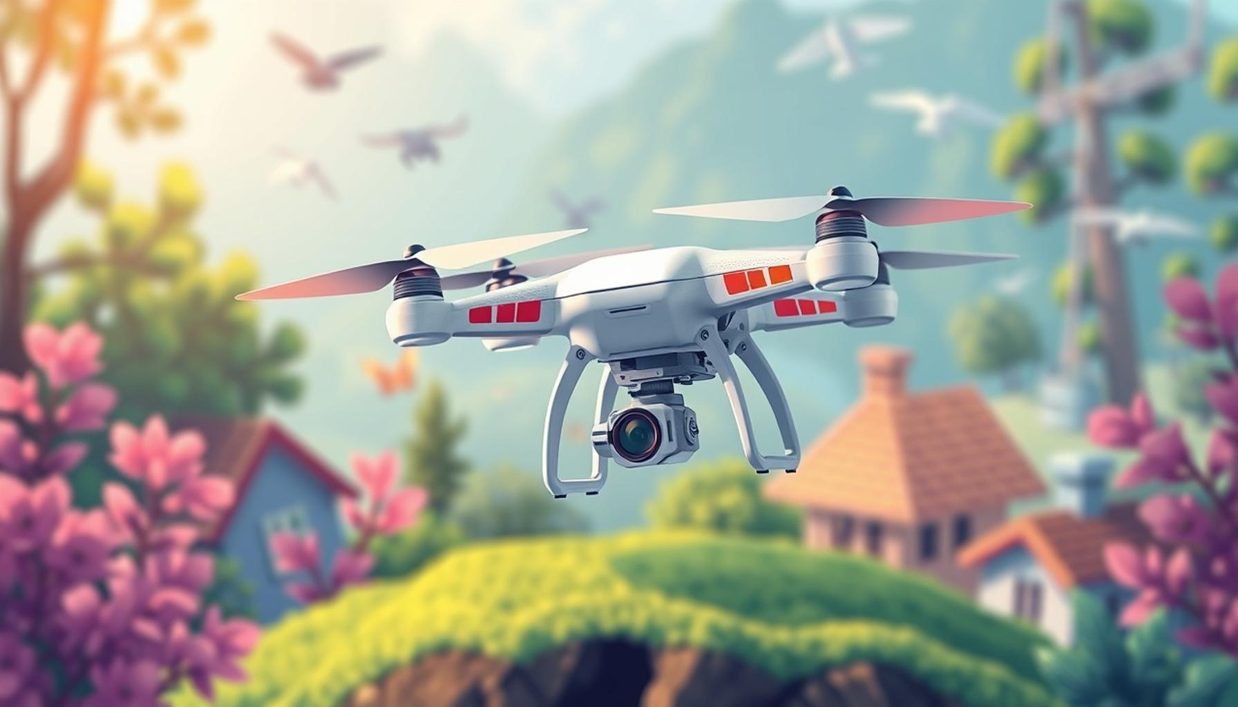
In recent years, the integration of drones into various environmental initiatives has marked a turning point for sustainability efforts. These unmanned aerial vehicles (UAVs) are redefining how we approach conservation, offering innovative solutions to protect our planet. With ongoing advancements in technology, drones have become indispensable tools for conservationists and researchers alike.
Here are key areas where drones are making a difference:
- Wildlife Monitoring: Drones provide an efficient way to track and study wildlife populations without disturbing their habitats. For instance, in the African savannah, drones are utilized to monitor elephant herds. By capturing high-resolution images, researchers can assess population dynamics and even detect poaching activities in real-time.
- Forest Management: Aerial imagery from drones helps in assessing forest health, detecting diseases, and planning reforestation efforts. In the Pacific Northwest of the United States, drones equipped with multispectral cameras can identify areas affected by pests or disease, enabling targeted interventions to preserve biodiversity.
- Climate Change Research: Drones capture data on environmental changes, enabling scientists to monitor the effects of climate change more accurately. These aerial vehicles can survey melting glaciers in Alaska or track coastal erosion, providing crucial data for researchers studying long-term climatic patterns.
- Pollution Detection: Equipped with sensors, drones can identify sources of pollution in hard-to-reach areas. For example, researchers have deployed drones to monitor water quality in the Chesapeake Bay, detecting harmful algal blooms and pinpointing their sources, which helps in implementing effective mitigation strategies.
- Disaster Response: After natural disasters, drones assist in damage assessment and tracking recovery efforts. Following hurricanes in the Gulf Coast, drones have provided aerial footage to help emergency teams understand the extent of destruction, streamline resource allocation, and improve recovery timelines.
As technology advances, the potential for drones to aid in sustainability continues to grow. This tool is empowering conservationists and researchers to make informed decisions that positively impact our environment. Drones not only offer a bird’s-eye view of challenging terrains but also gather crucial data swiftly and efficiently, which would often take significant time and effort to obtain through traditional methods.
Understanding the role of drones in these initiatives unlocks a broader perspective for future conservation efforts. By embracing this technology, we are paving the way for more effective environmental stewardship. Let’s delve deeper into the transformative power of aerial technology and explore how it is reshaping the landscape of environmental conservation.
DIVE DEEPER: Click here to learn more
The Role of Drones in Wildlife Monitoring
One of the most vital applications of drone technology in environmental conservation is in the realm of wildlife monitoring. Traditionally, tracking animal populations and behaviors involved extensive ground surveys that were often time-consuming and invasive. Drones have revolutionized this process by allowing conservationists to observe wildlife from a safe distance, minimizing human interference and stress on the animals. This non-intrusive approach not only aids in population assessments but also enhances data accuracy.
For example, in the lush forests of the Amazon, drones equipped with thermal imaging cameras can detect the heat signatures of elusive species like jaguars during the night. This method not only allows researchers to monitor these species more effectively, but it also assists in understanding their habitats and movements without the need for extensive fieldwork, which can be both costly and disruptive.
Enhancing Forest Management with Aerial Technology
Another critical area where drones demonstrate their utility is in forest management. The ability to gather aerial imagery enables forest managers to make informed decisions regarding tree health, growth rates, and the presence of diseases or pests. Drones can capture multispectral images that reveal information about vegetation that is invisible to the naked eye. This data-driven approach aids in efficiently identifying areas that may require intervention.
In the Pacific Northwest, for instance, drone technology is employed to monitor vast expanses of forests. These aerial vehicles can help identify areas suffering from bark beetle infestations, which compromise tree health and can lead to catastrophic wildfires if left unchecked. By pinpointing these affected zones early, forest managers can implement targeted treatments, maximizing the effectiveness of their conservation efforts.
Facilitating Climate Change Research
Drones are also playing a significant role in climate change research. As global temperatures rise, the impacts of climate change are becoming increasingly visible, with glaciers melting and sea levels rising. Drones allow researchers to monitor these changes over time, providing valuable data that can influence policy and conservation strategies.
For example, in Alaska, drones are deployed to survey melting glaciers, capturing aerial images that help scientists measure the rate of glacial retreat. This data is crucial for understanding how climate change affects sea-level rise and ecosystem dynamics. Similarly, in coastal areas across the United States, drones are utilized to monitor erosion patterns and assess the resilience of ecosystems in the face of changing weather patterns.
The data gathered by drones in these scenarios is essential for developing scientific models that predict future environmental changes, guiding both conservation efforts and legislative actions aimed at addressing climate impact.
As the application of drone technology expands, it remains clear that these aerial vehicles offer invaluable resources for conservationists striving to protect our natural world. By leveraging drone technology, we gain powerful insights that were once difficult to attain, propelling sustainability efforts forward.
DISCOVER MORE: Click here to learn how to get free clothing on Shein
Mapping Ecosystems and Biodiversity
Besides wildlife monitoring and forest management, drones play a crucial role in mapping ecosystems and assessing biodiversity. The ability to capture high-resolution aerial imagery allows researchers to analyze landscapes in detail, from ocean reefs to mountainous terrains. This mapping capability is essential for conservationists striving to protect biodiversity, as it provides critical insights into the composition and health of various ecosystems.
In the coral reefs of Florida, for example, drones equipped with specialized cameras can create intricate maps of reef structures. These maps enable scientists to monitor coral health and identify areas suffering from bleaching before it spreads further. By assessing the damage remotely, conservationists can quickly organize restoration efforts, allowing them to prioritize areas that are most in need of intervention.
Furthermore, drones can be utilized in terrestrial ecosystems as well. In the central United States, researchers are employing drone technology to assess grassland habitats. By collecting data on plant diversity and population density from above, they can evaluate the ecosystem’s overall health. This information is vital for species preservation and habitat management, especially for declining fauna, such as prairie chickens.
Restoration and Reforestation Efforts
Drones are also transforming restoration and reforestation efforts. Traditional methods of replanting trees can be tedious and labor-intensive, often resulting in lower survival rates for newly planted saplings. Aerial technology, however, is ushering in innovative solutions that make reforestation more efficient and effective.
In Canada, a project known as “DroneSeed” utilizes drones to plant trees in deforested areas. These drones carry seed pods that contain nutrients and specific plant seeds, which they drop from the air. This technique enables rapid reforestation of vast landscapes that are otherwise difficult to access by foot. Studies have shown that drone-assisted planting increases the survival rate of newly planted trees, significantly enhancing the effectiveness of restoration initiatives.
- DroneSeed has reported plans to expand this technology for use in various terrains and ecosystems.
- This method of aerial seeding not only reduces manpower but also minimizes soil disturbance, which is crucial for maintaining the health of the ecosystem.
Combating Illegal Activities
An emerging application of drones is in combating illegal activities that threaten biodiversity, such as poaching and illegal logging. Drone surveillance provides a real-time monitoring system that allows authorities to act swiftly against threats to wildlife and natural resources.
In Kenya, wildlife rangers are using drones to patrol national parks, monitoring wildlife from above and detecting poachers before they can cause harm. The use of drones has proven effective in reducing poaching incidents significantly, as the risk of detection increases for would-be offenders. Similarly, in South America, drones are used to survey protected forests, identifying illegal logging activities and allowing for timely intervention.
The capability of drones to cover large areas with minimal human presence emphasizes their value in maintaining the integrity of these ecosystems. With advancing technology, the future of conservation looks promising as drones continue to provide invaluable data and intervention capabilities.
DISCOVER MORE: Click here to learn about innovations in cybersecurity
Conclusion
In conclusion, the integration of drones in environmental conservation represents a significant advancement in the way we address ecological challenges. From mapping ecosystems and assessing biodiversity to enhancing restoration efforts and combating illegal activities, aerial technology is proving to be an indispensable tool. The precision and efficiency of drones enable conservationists to monitor landscapes and wildlife from a perspective previously unattainable, providing them with critical data to inform their strategies.
As demonstrated in various initiatives, such as drone-assisted reforestation projects and anti-poaching surveillance, the benefits offered by aerial technology are multifaceted. Not only do drones facilitate quicker and more effective interventions, but they also enable conservationists to engage with vast and challenging terrains, which otherwise would have remained inadequately addressed. Moreover, the ongoing innovation within drone technology promises to enhance these capabilities further, opening new frontiers in environmental monitoring and management.
Ultimately, the collaboration between technology and ecological conservation is crucial for ensuring a sustainable future. As we face increasing environmental pressures, the role of drones will undoubtedly expand, allowing us to safeguard our planet’s diverse ecosystems for generations to come. Supporting the integration of drones into conservation efforts can lead to positive outcomes that balance human activities with the health of our natural world.

Linda Carter
Linda Carter is a writer and expert known for producing clear, engaging, and easy-to-understand content. With solid experience guiding people in achieving their goals, she shares valuable insights and practical guidance. Her mission is to support readers in making informed choices and achieving significant progress.